
Unclaimed brand
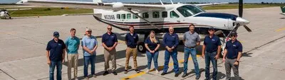
95West Aerial Mapping provides aerial acquisition and geospatial services throughout the United States and Canada.
Liking this brand profile? Share this page

Hex Code
Color name
RGB
HSL
CMYK
#87B4D5
Half Baked
135, 180, 213
205, 48, 68
37, 15, 0, 16
#FFFFFF
White
255, 255, 255
0, 0, 100
0, 0, 0, 0
#0C266A
Madison
12, 38, 106
223, 80, 23
89, 64, 0, 58
95West Aerial Mapping (formerly KBM GeoSpatial) is a leading provider of aerial acquisition and geospatial services across the United States and Canada. We are committed to offering unique solutions that are tailored to our clients' needs, utilizing cutting-edge equipment to deliver exceptional results. With decades of experience, our team of professionals brings unmatched efficiency to every project, ensuring that you receive the best value for your investment.
We offer a comprehensive range of geospatial services, including photogrammetry, Lidar surveys, digital orthophotography, and simultaneous capture using sUAS (small unmanned aerial systems). Our solutions cater to various industries such as mines and quarries, government agencies, forestry and natural resources, transportation, and utilities. Our high-density Lidar technology allows us to provide accurate 3D modeling, terrain analysis, and structure modeling for infrastructure projects.
We also specialize in forestry mapping, impervious surface mapping for urban planning, and material volume calculation for mines and quarries. At 95West Aerial Mapping, we pride ourselves on delivering top-quality services backed by state-of-the-art equipment and a team of industry experts. Contact us today to discuss your unique project requirements
