
Unclaimed brand
Established in 1977 to provide aerial photography and mapping services, Aerial Surveys Limited (formerly known as GeoSmart) is one of New Zealand’s leading aerial survey and geospatial mapping providers. It is also the only organisation that currently offers a total solution to the market place from supplying hardcopy aerial photography, digital imagery for GIS landbases, full photogrammetric mapping, 3D modeling and remote sensing.
Liking this brand profile? Share this page

Hex Code
Color name
RGB
HSL
CMYK
#0081C6
Lochmara
0, 129, 198
201, 100, 39
100, 35, 0, 22
#363636
Mine Shaft
54, 54, 54
0, 0, 21
0, 0, 0, 79
#BDE2A7
Celadon
189, 226, 167
98, 50, 77
16, 0, 26, 11
Aerial Surveys Ltd, established in 1979 and formerly known as GeoSmart, is New Zealand's premier provider of aerial survey and geospatial mapping services. Originally focused on capturing airborne imagery for the farming industry, Aerial Surveys has transformed into a cutting-edge enterprise, harnessing advanced technologies for remote sensing and automated photogrammetric mapping.
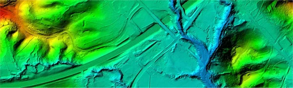
The company offers an extensive range of services, including mapping analysis and airborne survey data collection, utilizing state-of-the-art equipment like LiDAR sensors, high-performance digital cameras, and drones for smaller projects. Aerial Surveys is dedicated to providing high-quality geospatial information, helping clients from various sectors—including government, utilities, engineering, and agriculture—make informed decisions.
With over 40 years of experience in New Zealand's diverse and challenging environment, the firm is recognized for its commitment to innovation and sustainability. Aerial Surveys continually adopts the latest technologies to minimize environmental impact while delivering effective solutions, confirming its status as a leader in the aerial surveying market.
Brand industry
Heavy Industry and Engineering
Company type
Suggest company type
Year founded
Suggest founded year
Company size
Suggest company size
How do I download the Aerial Surveys Limited logo?
The Aerial Surveys Limited logo comes in two versions: a logo and an icon. Download as transparent PNG or JPEG.
What are Aerial Surveys Limited's brand colors?
The Aerial Surveys Limited color palette uses the hex codes #0081C6, #363636 and #BDE2A7.
The Aerial Surveys Limited name, logos and brand assets are trademarks of Aerial Surveys Limited and its affiliates. Brandfetch isn't affiliated with or endorsed by Aerial Surveys Limited. Their use is subject to Aerial Surveys Limited's brand guidelines.
