Eagleview
@eagleview.com
Geospatial tools and geographic information system (GIS) mapping from EagleView, the leading provider of the most accurate geospatial data.
Eagleview's Company Logos


Eagleview's Brand Colors
Hex Code
Color name
RGB
HSL
CMYK
#7C9ABF
Ship Cove
124, 154, 191
213, 34, 62
35, 19, 0, 25
#000000
Black
0, 0, 0
0, 0, 0
0, 0, 0, 100
#FFFFFF
White
255, 255, 255
0, 0, 100
0, 0, 0, 0
About Eagleview
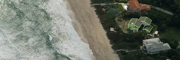
EagleView stands as the industry leader in geospatial tools and geographic information system (GIS) mapping, offering the most accurate and reliable geospatial data available. With a reputation for excellence, EagleView provides a wide range of products and services to various industries, including construction, government, insurance, solar, and utilities. Their flagship product, EagleView Assess™, offers drone-powered property data, allowing users to reserve drones and obtain highly detailed contextual roof information.
Additionally, EagleView offers a powerful cloud-based platform, EagleView Cloud, empowering users to make informed decisions with clarity and confidence. With over 20 years of experience, EagleView delivers unrivaled image resolution, four times more detailed than standard aerial imagery, and 70 times more detailed than standard satellite imagery. Their products provide highly accurate building measurements, helping users gain a competitive edge.
EagleView offers versatile file types, including PDF, XML, JSON, and DXF, making it easy to integrate their reports into third-party applications and industry workflows. Choose EagleView for the gold standard in accurate property measurement data and join their extensive list of satisfied customers who have experienced exceptional results. Explore their case studies to see real-life success stories.
Start using EagleView today and revolutionize your planning, building, and efficiency with their geospatial software, aerial imagery, and analytics
Company type
Privately Held
Year founded
2008
Company size
1001-5000 employees
Related Brands
Tags
High-resolution aerial imagery
Geospatial intelligence
Property data attributes
Orthomosaic and orthogonal imagery
Oblique superoblique imagery