
Unclaimed brand
home, smart mapping, smart city, smart cities, 3D GIS, 3D WEB GIS, 3D APP, 3D GIS APP, 3D GIS Mobile, 3D Mapping, Visualizzazione 3D, Globo 3D, Rilievo UAV, Rilievo Dorne, Rilievo 3D, 4D GIS, 4D WEB GIS, 4D APP, 4D GIS APP, 4D GIS Mobile, 4D Mapping, Visualizzazione 4D, Globo 4D, Rilievo 4D, Skyline, SkylineSoft, SkylineGlobe, GeoInfoLab, UAV, UAS, APR, SAPR, Droni, rilievo droni
Liking this brand profile? Share this page

Hex Code
Color name
RGB
HSL
CMYK
#FFC400
Amber
255, 196, 0
46, 100, 50
0, 23, 100, 0
#9E5832
Mule Fawn
158, 88, 50
21, 52, 41
0, 44, 68, 38
#FFDA5E
Dandelion
255, 218, 94
46, 100, 68
0, 15, 63, 0
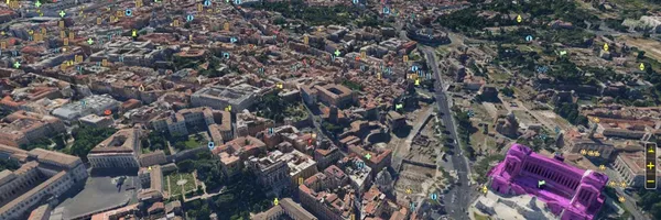
GeoInfoLab is an Italian geomatics company specializing in 3D and 4D geographic information systems, mapping, and related services. With around 20 years of experience in 3D GIS, the company works across applications, systems, and software development, serving needs that range from education to geospatial intelligence. Since 2006, GeoInfoLab has been an official distributor of Skyline’s 3D GIS solutions, providing licenses, data processing, and support.
Its services include photogrammetric and LiDAR processing, geospatial data creation, and geoprocessing in 2D, 3D, 4D, virtual reality, and HTML5 environments. GeoInfoLab also carries out aerial surveys using drones, with aircraft and pilots registered with Italy’s ENAC, and offers complete survey deliverables. For clients with specific requirements, the company develops native apps, WebGIS platforms, interactive multi-touch kiosks, virtual reality workstations, and geographic content management systems. It also provides systems integration and customization. GeoInfoLab emphasizes practical usability, tailored solutions, and the use of current technologies to make advanced geomatics accessible.
Brand industry
Computers Electronics and Technology
Company type
Suggest company type
Year founded
Suggest founded year
Company size
Suggest company size
