Gisfile
@gisfile.com
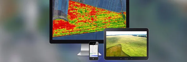
GISFile - mapping service to making maps, collaborative editing, sharing and publishing maps. API functions for integration of maps into mobile and web app.
Gisfile's Company Logos
Gisfile's Brand Colors
Hex Code
Color name
RGB
HSL
CMYK
#BECB48
Turmeric
190, 203, 72
66, 56, 54
6, 0, 65, 20
#FBB450
Casablanca
251, 180, 80
35, 96, 65
0, 28, 68, 2
#AD6704
Mai Tai
173, 103, 4
35, 95, 35
0, 40, 98, 32
About Gisfile
GISFile is a free service that caters to a wide range of GEO-spatial tasks. It serves as a GEO-spatial database, file storage, and GPS navigation system, allowing users to effectively manage their spatial data. With a comprehensive set of Rest API functions, GISFile also enables third-party developers to integrate the service into their own web applications.
Users of GIS 6 and MapDraw 2 software can seamlessly display, create, modify, and search for information within a user-friendly interface. Additionally, all users have the capability to view and edit layers directly in the web interface. The service fosters collaboration by facilitating the creation and editing of objects and the sharing of data and experiences among the community.
Try GISFile for free today and unlock its capabilities, including the display of vector objects on various base maps like OpenStreetMap and Google Maps, customizable colors and fills for vector objects, and the ability for administrators to set default display parameters. Join the GEO-information technology revolution with GISFile
Brand industry
Computers Electronics and Technology
Company type
Suggest company type
Year founded
Suggest founded year
Company size
2-10 employees