
Unclaimed brand
TRAIL gives risk engineers a traceable AI workspace for desktop studies, covering 8 evidence layers across ground deformation, NatCat, and geology.
Liking this brand profile? Share this page

Hex Code
Color name
RGB
HSL
CMYK
#367078
Ming
54, 112, 120
187, 38, 34
55, 7, 0, 53
#8EE0E4
Riptide
142, 224, 228
183, 61, 73
38, 2, 0, 11
#101B53
Blue Zodiac
16, 27, 83
230, 68, 19
81, 67, 0, 67
KorrAI is a brand that combines the power of satellites and AI to detect changes on the Earth's surface, such as sinking land, before they become disasters. Our mission is to provide fast and accurate risk maps to diverse industries, enabling smarter decision-making in a changing climate. Our team consists of experts in various fields, including computer engineering, geology, remote sensing, platform engineering, and business development.
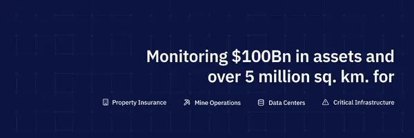
Together, we work tirelessly to develop commercially viable technology and solutions for industries that are crucial to the transition to a sustainable economy. We offer a range of services to different sectors, including mining, infrastructure, and natural hazard management. Our offerings include monitoring open pit slopes, tailing dams, waste dumps, mining areas, infrastructure, access roads, and production facilities for the mining industry.
We also provide monitoring solutions for linear infrastructures like roads, highways, pipelines, and rail lines, as well as critical infrastructure such as bridges, dams, airports, and ports. At KorrAI, we are dedicated to utilizing satellite imagery and AI to transform the way industries mitigate risks and adapt to ongoing changes in our environment. Subscribe to our updates to stay informed about our latest developments
Company type
Privately Held
Year founded
2020
Company size
11-50 employees
