
Unclaimed brand
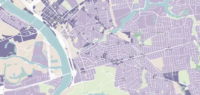
The National Zoning Atlas is digitizing, demystifying, and democratizing information about zoning conditions in more than 33,000 jurisdictions in the U.S. — empowering advocates, revealing insights, and driving research. With an interactive map and Zoning Snapshots, the NZA is an unparalleled resource for anyone interested in accurate, comprehensive zoning data.
Liking this brand profile? Share this page

Hex Code
Color name
RGB
HSL
CMYK
#03689A
Bahama Blue
3, 104, 154
200, 96, 31
98, 32, 0, 40
#000000
Black
0, 0, 0
0, 0, 0
0, 0, 0, 100
#FFFFFF
White
255, 255, 255
0, 0, 100
0, 0, 0, 0
The National Zoning Atlas (NZA) is a U.S.-focused initiative that makes zoning information easier to access, understand, and use. It digitizes zoning codes and maps, bringing detailed information about land-use rules across thousands of jurisdictions into a centralized, publicly accessible resource. Through its interactive map and Zoning Snapshots, the NZA helps advocates, policymakers, researchers, and the public examine how zoning shapes housing, communities, economies, and the environment.
The Atlas standardizes zoning information so users can compare rules across places. Its research team reviews zoning codes and geospatial files, including older hand-drawn maps, and records more than 200 regulatory characteristics for each zoning district. The organization also publishes analysis and research, advocacy resources, state atlas materials, zoning primers, a glossary, tutorials, and teaching materials. These offerings support informed discussion and evidence-based efforts to improve zoning. By translating complex local regulations into clear, actionable data, the NZA aims to help communities identify barriers and opportunities and pursue zoning changes that support more housing choices, stronger economies, healthier environments, and better-connected communities.
Brand industry
Reference Materials
Company type
Suggest company type
Year founded
Suggest founded year
Company size
Suggest company size
How do I download the National Zoning Atlas logo?
The National Zoning Atlas logo comes in two versions: a logo and an icon. Download as transparent PNG or JPEG.
What are National Zoning Atlas' brand colors?
The National Zoning Atlas color palette uses the hex codes #03689A, #000000 and #FFFFFF.
The National Zoning Atlas name, logos and brand assets are trademarks of National Zoning Atlas and its affiliates. Brandfetch isn't affiliated with or endorsed by National Zoning Atlas. Their use is subject to National Zoning Atlas's brand guidelines.
