Maptoolkit
@maptoolkit.org
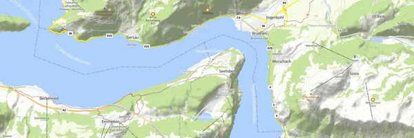
Free, production-grade vector basemaps for the open web. No API key, no sign-up, no request limits. Powered by OpenStreetMap + MapLibre under the Maptoolkit Community License.
Maptoolkit's Company Logos
Maptoolkit's Brand Colors
Hex Code
Color name
RGB
HSL
CMYK
#EF423C
Flamingo
239, 66, 60
2, 85, 59
0, 72, 75, 6
#191F39
Port Gore
25, 31, 57
229, 39, 16
56, 46, 0, 78
#85D3E5
Cornflower
133, 211, 229
191, 65, 71
42, 8, 0, 10
About Maptoolkit
Maptoolkit.org provides free, production-grade vector map tiles based on OpenStreetMap data, designed for websites and applications using MapLibre. The hosted service requires no API key or sign-up and has no fixed request limits, though fair-use rules and adaptive rate limiting apply. Tiles receive weekly OpenStreetMap updates and are delivered through Cloudflare’s global network, with hosting in Europe and GDPR-conscious, cookie-free access.
Users can try map styles for destinations and activities such as hiking, cycling, and city exploration, then add a style URL to MapLibre to display a map. Community access is intended for personal, educational, nonprofit, open-source, and qualifying small commercial projects. Maps must visibly credit both Maptoolkit and OpenStreetMap, and the license excludes uses such as bulk extraction, offline tile generation, and print materials.
For organizations that need dedicated infrastructure, service-level agreements, support, or additional APIs, Maptoolkit offers an Enterprise License. Its broader commercial services include raster tiles, static maps, routing, geocoding, elevation, weather, and tools for connecting custom geodata.
Brand industry
Computers Electronics and Technology
Company type
Suggest company type
Year founded
Suggest founded year
Company size
Suggest company size