Mergin Maps
@merginmaps.com
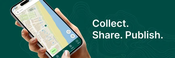
Collect field data through your mobile or tablet then share it with the team for seamless collaboration. The easiest way to take your QGIS projects into the field.
Mergin Maps's Company Logos

Mergin Maps's Brand Colors
Hex Code
Color name
RGB
HSL
CMYK
#73D19C
Vista Blue
115, 209, 156
146, 51, 64
45, 0, 25, 18
#E4C591
Gold Sand
228, 197, 145
38, 61, 73
0, 14, 36, 11
#004C45
Aqua Deep
0, 76, 69
174, 100, 15
100, 0, 9, 70
About Mergin Maps
Mergin Maps is a brand that offers a comprehensive platform for capturing, storing, and analyzing geospatial data. With Mergin Maps, you can easily capture geoinformation through your mobile or tablet and seamlessly share it with your team for collaboration. It provides the simplest way to take your QGIS projects into the field.
This brand aims to make the collection and management of geodata a breeze. With Mergin Maps, you can collaborate safely with others on the same geodata in near real-time, even from the field. The software works offline and automatically merges edits, making it convenient and efficient for fieldwork.
Mergin Maps is developed by Lutra Consulting, a company with over 10 years of experience in helping organizations adopt open-source GIS. They have designed Mergin Maps to solve challenges in various industries, including agriculture, construction, engineering, environmental, transportation, telecommunication, utilities, public services, and fiber optics. Join over 45,000 users in more than 190 countries and start effectively collaborating on spatial data with Mergin Maps today
Company type
Privately Held
Year founded
2018
Company size
11-50 employees