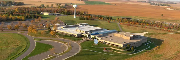
USGS EROS
@mrlc.gov
USGS Earth Resources Observation and Science Center. The changing face of your planet: documented, studied & shared since 1973. Questions: [email protected]
USGS EROS's Company Logos

USGS EROS's Brand Colors
Hex Code
Color name
RGB
HSL
CMYK
#A1541F
Desert
161, 84, 31
24, 68, 38
0, 48, 81, 37
#9BCE5A
Celery
155, 206, 90
86, 54, 58
25, 0, 56, 19
#006600
Camarone
0, 102, 0
120, 100, 20
100, 0, 100, 60
About USGS EROS
The Multi-Resolution Land Characteristics (MRLC) Consortium is a collaboration of federal agencies dedicated to creating consistent and relevant land cover information for a variety of environmental, land management, and modeling applications at the national level. Their flagship product, the National Land Cover Database (NLCD), offers comprehensive land cover mapping for the lower 48 United States, Alaska, Hawaii, and Puerto Rico. This data is essential for local, state, and federal entities to assess ecosystem health, model runoff, understand biodiversity, plan land use, and develop management policies.
The MRLC Consortium offers a range of data products and tools, including the recently released NLCD 2021 epoch, providing users with detailed insights into the nation's landscapes. Additionally, their RCMAP suite offers a time-series of fractional land cover components from 1985-2023 for the Western United States. All MRLC NLCD data products are freely available, ensuring widespread access for researchers, scientists, land managers, and policymakers alike.
Brand industry
Heavy Industry and Engineering
Company type
Suggest company type
Year founded
Suggest founded year
Company size
Suggest company size