
Unclaimed brand
OGL Engineering delivers airborne LiDAR, orthophoto, GIS mapping, and engineering-led geospatial solutions across Canada. Fully in-house aerial survey, data processing, and mapping services supporting utilities, infrastructure, municipalities, and environmental projects.
Liking this brand profile? Share this page

Hex Code
Color name
RGB
HSL
CMYK
#67BE60
Mantis
103, 190, 96
116, 42, 56
46, 0, 49, 25
#B2B2B2
Silver Chalice
178, 178, 178
0, 0, 70
0, 0, 0, 30
#07773D
Salem
7, 119, 61
149, 89, 25
94, 0, 49, 53
OGL Engineering is a Canadian-owned and operated geospatial company providing airborne LiDAR, imagery, GIS mapping, and engineering-led geomatics solutions across Canada. With more than 45 years of experience and over 11,000 projects delivered, the company supports utilities, infrastructure, municipalities, and environmental projects from initial planning through data acquisition, processing, analysis, and final delivery.
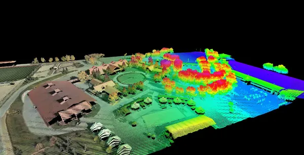
OGL’s services include geomatics consulting, aerial data acquisition, geospatial analysis, and data processing, all handled in-house. Its products and capabilities include airborne LiDAR and imagery, high-density terrestrial LiDAR scanning, point-cloud processing and classification, high-resolution colour and infrared aerial photography, photogrammetry, and image mosaics. The company also provides GIS feature mapping, 3D spatial data, digital earth and surface models, infrastructure modelling, and geospatial software.
OGL operates its own flight department and relies on experienced engineers and technicians to process data. This integrated approach is intended to support quality, consistency, and data security, while enabling custom solutions for projects with specific requirements. OGL positions itself as an experienced, innovative Canadian partner for geospatial and engineering needs.
Company type
Privately Held
Year founded
1980
Company size
11-50 employees
