PaM
@pamgis.com
PaMGIS delivers a modern GIS platform for property taxation, land administration, smart cities, revenue mobilization, and infrastructure intelligence.
PaM's Company Logos

PaM's Brand Colors
Hex Code
Color name
RGB
HSL
CMYK
#00007A
Navy Blue
0, 0, 122
240, 100, 24
100, 100, 0, 52
#8BCBF0
Jordy Blue
139, 203, 240
202, 77, 74
42, 15, 0, 6
#113C56
Elephant
17, 60, 86
203, 67, 20
80, 30, 0, 66
About PaM
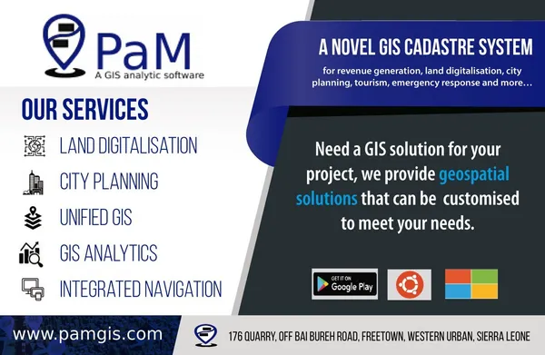
PaM GIS is a leading brand specializing in GIS analytic software solutions. With over 33 years of combined experience, we develop enterprise software to tackle geospatial challenges. Our software offerings cater to various sectors, including land digitalization, city planning, emergency response, taxation, and tourism. We are a team of skilled engineers and IT specialists distributed globally, committed to providing geospatial systems that address the specific needs of developing countries.
Our solutions include a cadastre system for geospatial data, integrated surveying tools, and an OGC compliant system for seamless data integration. With real-time data access across all platforms, our software empowers city planners to visualize urban landscapes in 3D and enables swift emergency responses through third-party APIs integration.
Consider partnering with us if you are a sales agent or an aid organization supporting developing nations. For any inquiries or assistance, feel free to reach out to us. Explore the innovative GIS solutions by PaM today.
Company type
Privately Held
Year founded
2018
Company size
2-10 employees