TOPOTEC
@topotec.co.mz
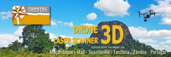
PEDIR COTAÇÃO Serviços de Topografia com Drone e Laser Scanner, Aerofotogrametria 3D, Batimetria, Volumetria, Picatagem, Modelos Digitais de Terreno a 3D, Implantação de Obras, Fiscalização de Obra, Monitorização Topográfica e Ordenamento do Território.
TOPOTEC's Company Logos

TOPOTEC's Brand Colors
Hex Code
Color name
RGB
HSL
CMYK
#ECA900
Web Orange
236, 169, 0
43, 100, 46
0, 28, 100, 7
#83CDF2
Jordy Blue
131, 205, 242
200, 81, 73
46, 15, 0, 5
#E19C01
Tangerine
225, 156, 1
42, 99, 44
0, 31, 100, 12
About TOPOTEC
Topotec is a leading brand offering a wide range of geosurvey services in Mozambique. With expertise in drone and laser scanner technology, they specialize in topography services, aerial photography, altimetry, bathymetry, 3D facade modeling, construction supervision, and volumetry. Their team also excels in digital terrain modeling, agricultural surveys, and land use planning.
Committed to delivering accurate and reliable results, Topotec caters to various industries and sectors, providing customized solutions to meet their clients' specific needs. Their portfolio showcases successful projects and satisfied clients, highlighting their expertise and professionalism.
With a focus on quality and innovation, Topotec utilizes state-of-the-art equipment and employs highly skilled professionals to ensure precise measurements and comprehensive analysis. Clients can rely on their services for efficient project implementation, monitoring, and territory management.
Contact Topotec today for a personalized quote and experience the excellence of their geosurvey services.
Company type
Partnership
Year founded
2013
Company size
2-10 employees