
Unclaimed brand
Providing advanced aerial surveying using HD & 4K video cameras operating on UAV’s (Unmanned Aerial Vehicles) capable of hover, long range fixed wing & VTOL
Liking this brand profile? Share this page

Hex Code
Color name
RGB
HSL
CMYK
#8B8B8B
Gray
139, 139, 139
0, 0, 55
0, 0, 0, 45
#D7DF23
Pear
215, 223, 35
63, 75, 51
4, 0, 84, 13
#DADFE1
Iron
218, 223, 225
197, 10, 87
3, 1, 0, 12
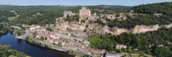
Xcell Aerial offers cutting-edge aerial surveying solutions using HD & 4K video cameras mounted on UAVs (Unmanned Aerial Vehicles). Our services include high-resolution still cameras, thermal cores, 3D mapping & modeling, and 30x zoom modules, ensuring precise and detailed data collection. Our team of fully qualified CAA-regulated pilots operate UAVs capable of hover, long-range fixed-wing flights, and vertical take-off and landing maneuvers.
We cater to diverse industries with applications ranging from energy assessments to security surveillance, inspection, and search and rescue missions. Our services encompass delivering stable HD video, thermal imaging, emergency supply drops, and live video streaming. With a maximum altitude of 400ft (UK only) and a line-of-sight range of 2km, we ensure comprehensive coverage and efficient operations. Contact us for advanced aerial surveying tailored to your specific needs.
Company type
Privately Held
Year founded
2014
Company size
2-10 employees
How do I download the Xcell Aerial Surveys logo?
The Xcell Aerial Surveys logo comes in two versions: a logo and an icon. Download as transparent PNG or JPEG.
What are Xcell Aerial Surveys' brand colors?
The Xcell Aerial Surveys color palette uses the hex codes #8B8B8B, #D7DF23 and #DADFE1.
The Xcell Aerial Surveys name, logos and brand assets are trademarks of Xcell Aerial Surveys and its affiliates. Brandfetch isn't affiliated with or endorsed by Xcell Aerial Surveys. Their use is subject to Xcell Aerial Surveys's brand guidelines.
